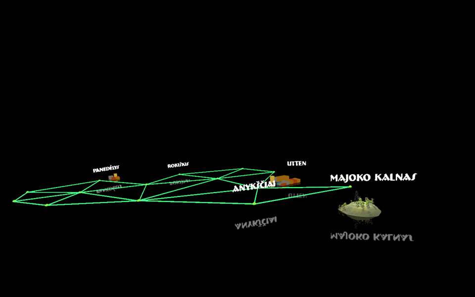
The construction of the geodetic arc is one of the greatest attempts of the first half of the 19th century to study and determine the size and shape of the Earth. University of Tartu professor and astronomer Friedrich Georg Wilhelm von Struve developed a methodology for measuring the arc of the earth's meridian, a semicircle connecting the north and south poles of the earth. He formed a chain of triangulation (triangles) consisting of 259 triangles with vertices anchored by special signs. The arc of the meridian stretched from the Danube River across the Black Sea to the Arctic Ocean coast of Fuglenes. The arc crosses present-day countries such as Norway, Sweden, Finland, Estonia, Latvia, Lithuania, Belarus, Ukraine and Moldova.
In the 19th century, it was the most precisely measured and longest meridian arc. The results of his measurements were used for a century to calculate and refine the parameters of the Earth's ellipsoid – an irregularly shaped sphere. Based on this work of F. G. W. von Struve, geodesist A. Bonsdorf calculated the length of the Earth's meridian in 1888.
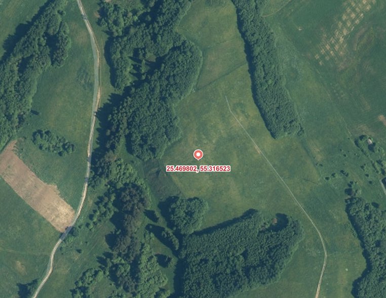
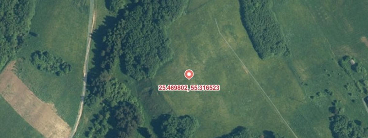
Currently, ten European countries protect 34 differently marked points of the Struve geodesic arc, three of which are located on the territory of Lithuania - in the villages of Meškoniai, Paliepiukai and Gireišiai. The Struve geodesic arc is one of the four valuables of global significance in Lithuania - in 2005 it was added to the UNESCO World Heritage List.
A tower, part of the Struve geodesic arc, used to measure the sea level, stood on the Majokas hill in the Molėtai district.