Start of the route. GPS: 55.233151, 25.449549
Alternative route start. Petras Laurinavičius Rural Tourism Homestead. Providing accommodation, sauna, boating services. GPS: 55.212415, 25.460022.
Rudesa cemetery chapel and bell tower. Buildings of folk architecture. The cemetery is in a pine forest, on a hill. The chapel stands in the middle of the cemetery, the bell tower is southwest of the chapel, the entrance is from the side of the cemetery gate. The chapel of Saint John the Baptist is rectangular in plan, with a three-walled apse on the north side. In the 16th century (around 1535) Queen Bona funded a chapel in the former mansion. A wooden chapel and a wooden bell tower, built in the 18th century, have survived in the old cemetery. The cast bell and paintings that were in the bell tower have been moved to Inturkė church. GPS: 55.228252, 25.508966.
Kamužė campsite. The campsite is equipped with minimal recreational infrastructure - gazebos, benches, trash cans, fire pits, information stands. GPS: 55.206209, 25.524812.
Observation deck. There is an observation deck in the fire tower on the cliff of Lake Baltieji Lakajai. It opens up a view of the lake and its surroundings. Visiting with the Labanoras Regional Park Visitor Center staff is with prior arrangement. There are benches, trash cans, and a gazebo next to the tower. Campfires and tents are prohibited. GPS: 55.209265, 25.531332.
Campsite. The campsite is equipped with minimal recreational infrastructure - gazebos, benches, trash cans, fire pits, information stands. GPS: 55.214825, 25.535766.
Observation tower of the Labanoras regional park. GPS: 55.219241, 25.560908.
Lake Fishing Museum. Antanas Truskauskas hunting and nature exposition. GPS: 55.216082, 25.551204.
Mindūnai camping. GPS: 55.231654, 25.562049.
„Pušis su koja“. Object of natural heritage protected by the municipality - two in one adult pine trees. GPS: 55.221078, 25.557848.
Apkartai campsite. There is an information stand and trash cans. There is no other recreational infrastructure. GPS: 55.210236, 25.607778.
Kertuojai hillfort. From the hillfort there is a view of the largest thermokarst lake in Lithuania, Kertuojai Lake. There are stairs for climbing the hill, and a resting place at the foot - an information stand, benches, trash cans. The slopes of the mound are steep, the western one is 12 m. in height. The site at the top is 55 m. long, 20 m. wide. It contains the remains of an embankment about 15 meters long. Fragments of molded striated and smooth pottery, rubbing millstones were found here. GPS: 55.215376, 25.63744.
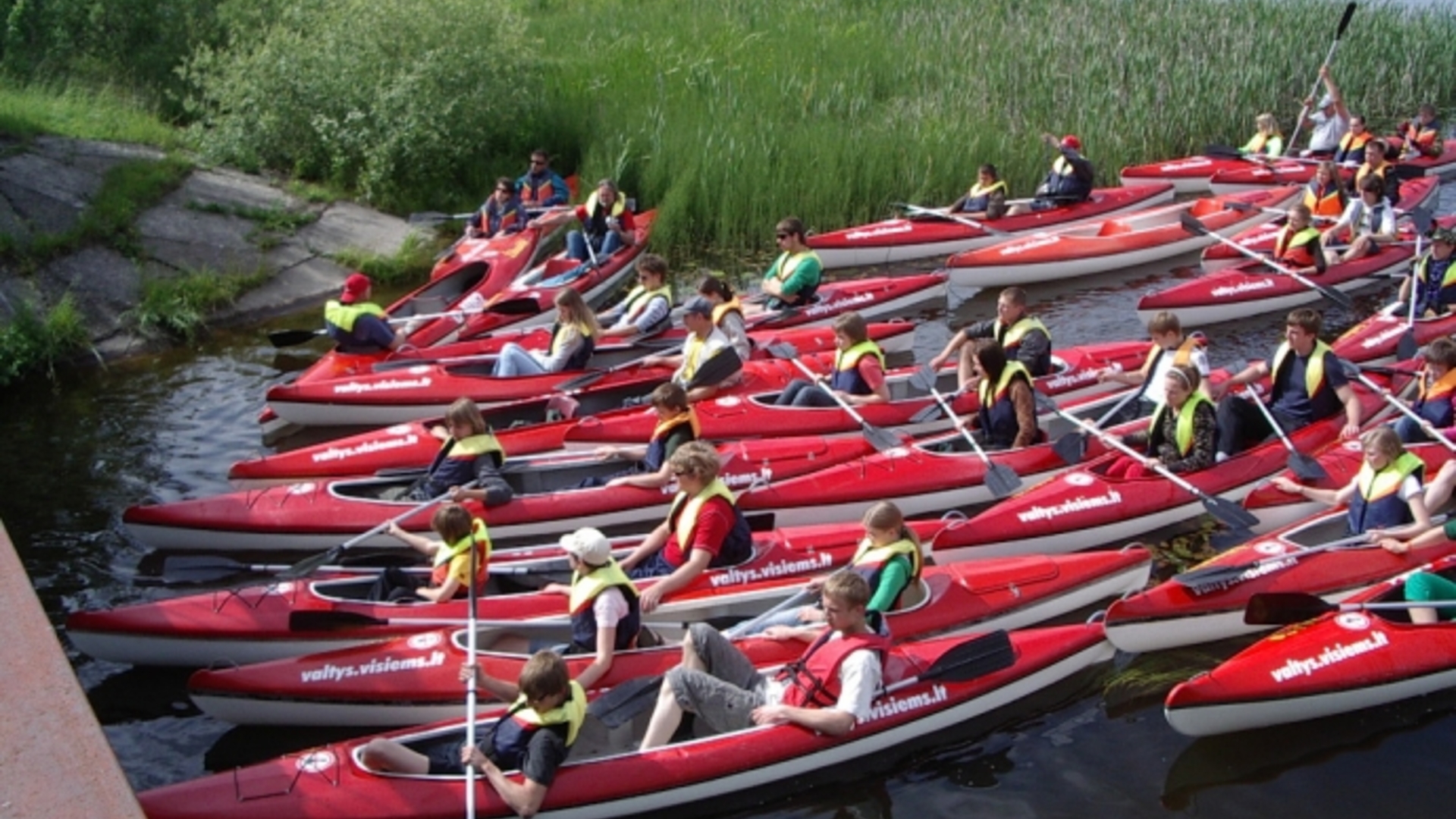
Juodieji Lakajai I campsite. The campsite is equipped with minimal recreational infrastructure - gazebos, benches, trash cans, fire pits, information stands. Here is the start for kayaking on the Lakaja River. GPS: 55.181632, 25.637705.
Juodieji Lakajai II campsite. The campsite is equipped with minimal recreational infrastructure - gazebos, benches, trash cans, fire pits, information stands, stairs for descending to the lake. GPS: 55.179352, 25.679992.
Lakaja campsite. The campsite is equipped with minimal recreational infrastructure - gazebos, benches, trash cans, fire pits, information stands, stairs for descending to the lake. Švenčioniai region. GPS: 55.178897, 25.68156.
Žeimena campsite. The campsite is equipped with recreational infrastructure - gazebos, benches, trash cans, fire pits, information stands, parking lot, and other infrastructure. Švenčioniai region. GPS: 55.151645, 25.778996.
End of the Lakaja Waterway. GPS: 55.105252, 25.945524