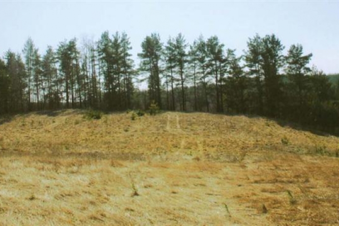
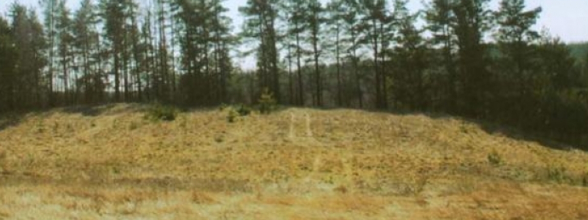
The mound (Black Hill) is located on the edge of the highlands, on the right bank of Virinta. The plot is oval, elongated in the east-west direction, 52x23 m in size, with a 2 m higher northern edge. Smooth and striped pottery was found on it and on the northern edge. There was an embankment (destroyed) at the edges of the northern and eastern sides. The slopes are steep, 20 m high, sloping in the north and east, 2-3 m high. The mound is dated to the second half of the 1st millennium BC - the beginning of the 1st millennium.